

Bright red, squat in the water, the Kadie J lies squeezed between a concrete slipway and a seafood restaurant. It will take no more than ten minutes for her to cross from Fort William on the eastern side of Loch Linnhe over to Camusnagaul in Ardgour on the west. As I approach the slipway, a light breeze toys with my brutal Cape Wrath haircut, but scarcely a hair flinches. I am fully kitted out, gaiters on, poles in hand, rucksack moulded to my back like an ungainly turquoise shell. There’s nothing to stop me contemplating the boundless freedom that lies ahead, with everything I need right here and nothing else to think about but putting one foot in front of the other.
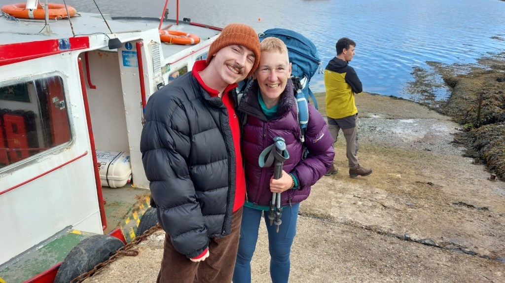
But instead of imagining wide-eyed possibilities, bountiful vistas, my mind tumbles through what may – or may not – be in my rucksack. Yes, for once I made a list. Yes, I’ve checked it, packed and repacked. It’s just that once the Kadie J begins to pull away from the slipway, there’s no turning back, no rifling through our gear in the attic or nipping to the shops. Did I really put the tent poles in? What about the pegs? How about you stop that? I turn to my boys, Nick clearly worrying about where he’s had to leave the car, Finn sticking close to me, hands in pockets.
I take a deep breath, immediately regretting the lungful of car fumes from the road on the other side of the railings. There seems to be a lot of people milling round the boat and I wonder if any of them are Cape Wrathers. But then it occurs to me I might not get a space. That would be the biggest anticlimax since Scotland played Germany in the opening match of the 2024 Euros. I move swiftly towards the Kadie J ahead of what I think is a gang of cyclists. But it’s actually only two.
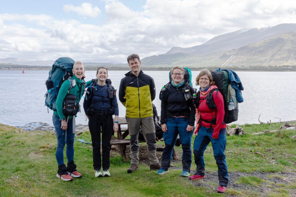
I relax. Like Nick and Finn, some of the crowd are clearly well-wishers rather than travellers. I strike up a conversation with a lithe young woman whose pack, unlike mine, is a model of minimalism. Christina (Chrissie) is indeed a Cape Wrather and, like me, is heading for Glenfinnan, some twenty-one miles away. Her dad takes the mickey out of her shoes, which are basically trainers and anathema to older men of the hills for whom only leather will do, Goretex at a push. I silently approve her choice.
The boatman weaves deftly through the crowd, collecting £2 coins, which I’ve remembered to bring. It’s time to say goodbye and I rush to hug my boys. Nick takes a photo. I am euphoric. Or is it hysterical? A catapult about to be released after months of training and planning. We clamber aboard, the Cape Wrathers gravitating to the back. We are five in total – me, Chrissie, a Dutch man and Dutch/German pair of women. The bikers – another couple of Dutch women – join us. The engine starts and the boat pulls slowly away from the slipway as we cram ourselves with information about each other.
I presume Nick has gone straight to rescue the car from a traffic warden ambush, but someone points out our nearest and dearest waving from the street above. I leap up, waving back frantically, suddenly aware of the growing distance between us. Fort William retreats, even as it comes more clearly into view, a grey knot of tourist accommodation, shops and restaurants with a long tail of hotels and guest houses creeping south along Loch Linnhe. It caters overwhelmingly for tourists: adventurers with Ben Nevis, Britain’s highest peak, in their sights or arriving, weary but triumphant, at the end of the West Highland Way; the less-adventurous intent on enjoying some romantic Highland scenery from the comfort of a coach, or catching the ‘Harry Potter’ steam train to Mallaig, wands in hand.
But the town’s origins lie not in the picturesque but the entirely practical and strategic, for it sits at the south-western entrance to the Great Glen, a series of lochs that slashes through the western highlands up to Inverness over sixty miles away. By the thirteenth century, Inverlochy castle – which sits in ruins on the north-eastern edge of modern Fort William – controlled access to this vital passageway for the Comyns, Scotland’s most powerful family until its head was unceremoniously murdered by Robert the Bruce in 1306.
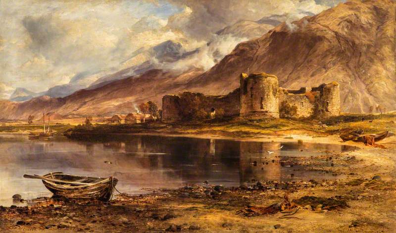
By the mid-seventeenth century, Inverlochy had been renamed Gordonstoun.[i] In keeping with the aristocratic habit of forcing everyone else to live in places named after them, this was an entirely gallus advertisement of the ambitions of the Gordon Marquesses of Huntly to extend their power and influence into the western Highlands from their powerbase in the north-east, just as the Comyns had done three hundred years earlier.
But only ten years later, Oliver Cromwell’s armies took over Scotland, the invaders building a timber fort near the old castle in 1654. Lochaber, the area in which Fort William sits, had long been a byword for the worst excesses of Highland lawlessness that ‘decent’ [that is, lowland] Scots and the government in London just loved to tut about. By the end of the century, another new fort was built on top of the mouldering remains of the Cromwellian one and named after the current king, whose name was – you may be ahead of me here – William. The town that began to grow around it to provide all the necessities of soldiering life was called Maryburgh after the queen. Full marks for imagination and general obsequiousness. For a while a plethora of names, including Gordonsburgh, lived on, but eventually King William’s won out.[ii] Though if you’re a cool mountaineer (or like to think you are), then you just call it ‘the Fort.’
I’m glad to be leaving it behind, even if it’s a wrench to leave my boys too. We’re already speeding towards the middle of the loch, seagulls scattering in vocal disapproval. In no time, we’re slowing down, gliding effortlessly towards the slipway at Camusnagaul. The name may originally have been Camus-nan-Gall in Gaelic or bay of the foreigners in English. And those foreigners, for the Gaels living here a millennium ago, meant the Norse powering down from Norway and eventually making themselves at home in Shetland and Orkney, much of northern Scotland and the west coast with its wealth of islands offshore.
I wonder if any Viking warships pulled in to Camusnagaul, sending the locals living along the shore fleeing into the hills. It’s certainly a good spot. Until fairly recently, storms forced any boats berthed at Fort William across to this more sheltered harbour, inevitably entailing ‘additional expense and loss of time,’ as the local minister testily noted at the end of the eighteenth century.[iii]
We shoulder our packs and stagger carefully off the boat. The noise and bustle of the metropolis on the other side does seem a long way off, the air here infused with a delicate perfume. Daffodils wave us welcome, the hillside oaks are just coming into leaf and the banks along the roadside have sprouted a knee-deep carpet of ferns and grasses. But there is one last formality to complete as one of the Dutch cyclists offers to take photos of the intrepid Cape Wrathers and we duly scrum together between a bike-rack and the bus stop, Ben Nevis looming over us beneath a blanket of softening cloud.
I slide my camera away and we all say goodbye. It’s time to get going.
[i] National Records of Scotland GD176/385
[ii] https://www.trove.scot/place/106439#activities This entry in the official National Record of the Historic Environment is not terribly accurate (based as it is on a 2008 book, The Western Seaboard: an illustrated architectural guide), particularly when it comes to Gordonsburgh, which predates both Fort William and Maryburgh, though its name was certainly still used well into the nineteenth century
[iii] Old Statistical Account: Kilmallie

Leave a comment